Poplar Island, MD Station Info
Poplar Island Personnel Pier
Maryland, 21665
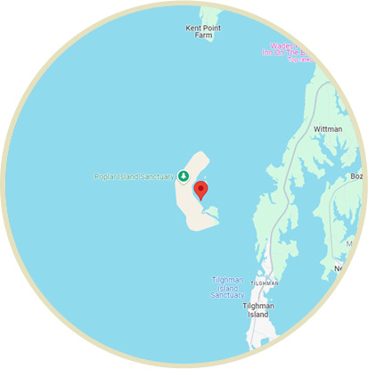
Find on Map
Tide Gauge Data
Note: the maximum date range is 31 days
| Date |
Time (EST) |
Preliminary (ft) |
Predicted (ft) |
| 2026/08/03 |
06:24 |
1.693 |
N/A |
| 2026/08/03 |
06:18 |
1.667 |
N/A |
| 2026/08/03 |
06:12 |
1.650 |
N/A |
| 2026/08/03 |
06:06 |
1.640 |
N/A |
| 2026/08/03 |
06:00 |
1.621 |
N/A |
| 2026/08/03 |
05:54 |
1.591 |
N/A |
| 2026/08/03 |
05:48 |
1.562 |
N/A |
| 2026/08/03 |
05:42 |
1.555 |
N/A |
| 2026/08/03 |
05:36 |
1.552 |
N/A |
| 2026/08/03 |
05:30 |
1.532 |
N/A |
| 2026/08/03 |
05:24 |
1.512 |
N/A |
| 2026/08/03 |
05:18 |
1.496 |
N/A |
| 2026/08/03 |
05:12 |
1.483 |
N/A |
| 2026/08/03 |
05:06 |
1.444 |
N/A |
| 2026/08/03 |
04:48 |
1.368 |
N/A |
| 2026/08/03 |
04:42 |
1.345 |
N/A |
| 2026/08/03 |
04:36 |
1.306 |
N/A |
| 2026/08/03 |
04:30 |
1.270 |
N/A |
| 2026/08/03 |
04:24 |
1.257 |
N/A |
| 2026/08/03 |
04:18 |
1.247 |
N/A |
| 2026/08/03 |
04:12 |
1.234 |
N/A |
| 2026/08/03 |
04:06 |
1.211 |
N/A |
| 2026/08/03 |
04:00 |
1.181 |
N/A |
| 2026/08/03 |
03:54 |
1.168 |
N/A |
| 2026/08/03 |
03:48 |
1.142 |
N/A |
Click here to navigate to NOAA’s predicted water levels for this location
Tide Gauge Data Export
Note: the earliest data available is from 08/30/2023